
AEGIS Mapper™
Developed for Defense and National Security forward operators. AEGIS Mapper is a real-time mapping solution capable of developing 2D and 3D orthomosiac maps in real-time from any airborne full motion video (FMV) camera system.
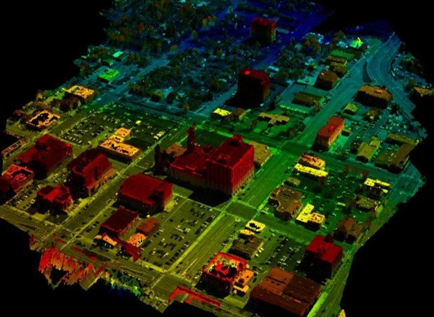
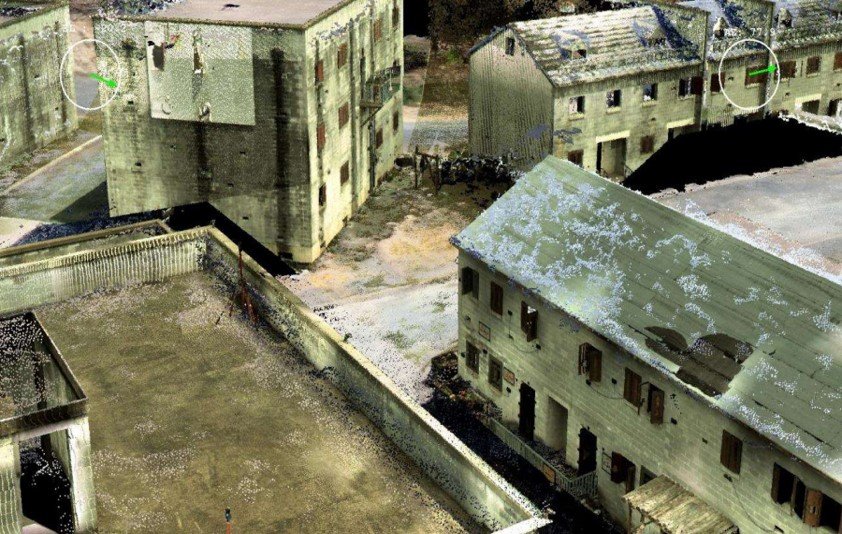
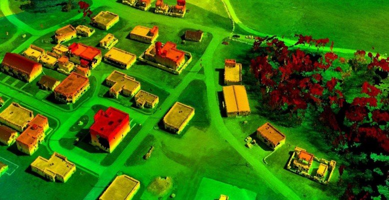
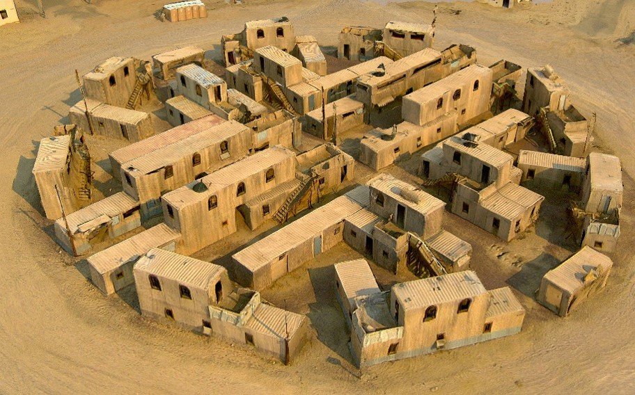
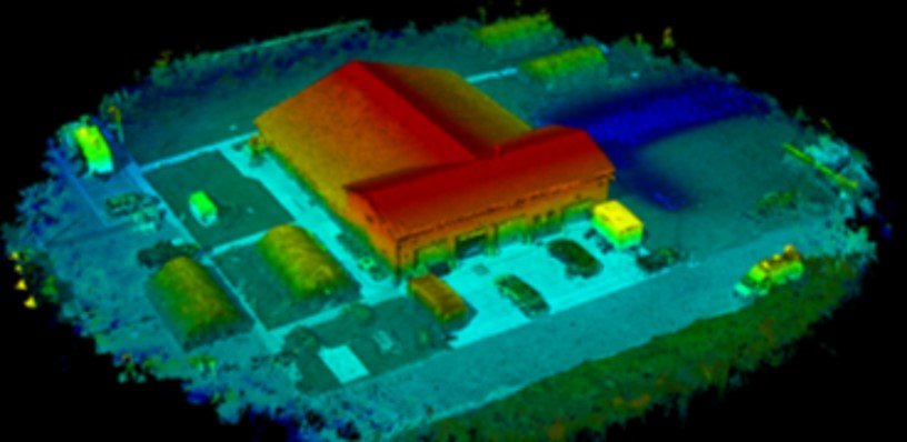
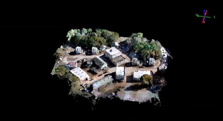
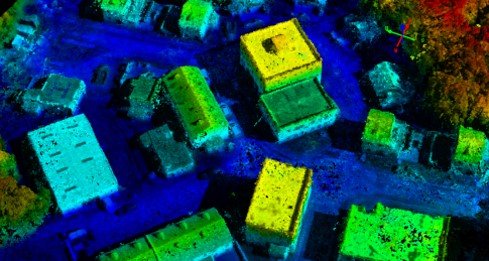
The automated process extracts metadata and video frames for importation into photogrammetric processing software. Once the data has been ingested and interpolated, the software generates 2D orthomosaics, 3D point clouds, digital terrain models, and 3D textured models by processing the FMV file or stream into separate cluster sets.
Geospatial products such as orthomosaics are then automatically created and exported.

Key Features Downloads Contacts
Key Features
Modular integration.
The AEGIS Mapper is a user-friendly software solution capable of integrating with any aerial camera system including manned and unmanned ISR aircrafts, tower-based cameras, and Blue UAS approved drones. Thereby reducing downtime, and increasing operational efficiency.
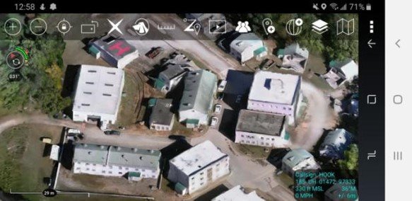
Export your data into any visualization software.
AEGIS Mapper enables seamless exportation of mapping data into all leading visualization GIS software, including ESRI ArcMap, Pix4D, AutoCAD, Carlson, and the government TAK ecosystem.
Exported Data into ATAK.